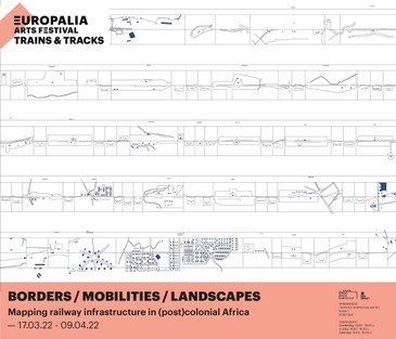
Borders, Mobilities and Landscapes. Mapping railway infrastructure in (post)colonial Africa.
- This page is part of our exhibition archive. The exhibition took place from 17-03-2022 to 09-04-2022

A cartographic analysis follows the trajectories of railway lines that opened the Central African region – from Cape Town (South Africa), Beira (Mozambique), Lobito (Angola), Pointe Noire (Congo-Brazzaville) and Dar-es-Salaam (Tanzania) – and shows how flows of goods and people took place across colonial borders. Two specific railways lines in the former Belgian colony are depicted from another perspective in atlases: The Matadi-Kinshasa connection transformed the existing region into a colonial production landscape, dotted with plantations, factories, labour camps and power stations. The B.C.K. railway line, which connected Port-Francqui to the Katanga mining basins, facilitated the movement of workers and brought about significant demographic shifts that show how the local population responded to the new spatial order.
Curators: Johan Lagae, Robby Fivez
In collaboration with Europalia.