News

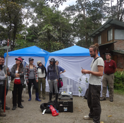
Evaluating reforestation sites in the Ecuadorian Andes

Students from Ecuador and Ghent join forces to unravel optimum restoration strategies for tropical montane forest ecosystems in the Andes

Read More…

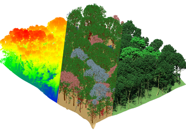
Old chestnut tree visualized in detail using 3D laser scanning

Non-destructive biomass estimates are usually done through allometric models based on tree diameter and height. These models are not always accurate. Using Terrestrial Laser Scanning, individual trees and dead wood can be measured more accurately.

Read More…

Good research arises from good networks

CAVELab's Associate Professor and ERC Starting Grant awardee Kim Calders will provide expertise to Finland's Flagship Programme UNITE (UEF), but he’s also drawn to Joensuu by a long-standing friendship (Text Maj Vuorre; Photo Varpu Heiskanen)

Read More…

Soil survey of reforestation sites in the Ecuadorian Andes

A team of Cuenca University and Ghent University set out in the North-Western slopes of the Ecuadorian Andes to visit reforestation sites during two weeks in February.

Read More…

Digital twins for understanding forest disturbances and recovery from space

Prof. Kim Calders is one of the 397 early-career researchers that won a European Research Council (ERC) Starting Grant with his project SPACETWIN.

Read More…

High level DRC government official visits the CongoFlux site

Isofys-Cavelab welcomes the first visit of a DRC minister to the CongoFlux site.

Read More…

Upscaling of Terrestrial Laser Scanning through Fusion with Remote Sensing Data

The research of Cavelab's Louise Terryn was featured in GIM International, an independent and high-quality information source for the global geomatics industry

Read More…

Terrestrial Laser Scanning to help assess forest biodiversity and ecosystem functioning

This summer, a team led by Kim Calders and Mengxi Wang of CAVELab collaborated with researchers from FornaLab in the FORBIO experiment.

Read More…