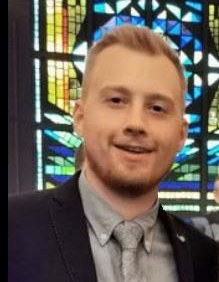
Joachim Vercruysse
Joachim graduated in 2020 as Master of Science in industrial sciences with major in surveying. His thesis was about the development of a classification index based on open source Sentinel satellite images in Flanders. More specifically, the index was going to transform satellite images on an automatic basis into a map with classes "water", "vegetation" and "other". After graduation, he started working as a project leader at Antea Group for a period of 1.5 years, after which he is now active as an assistant in the course Industrial Engineer Land Surveying at UGent. In addition, he will focus on his doctorate.
Supervisors: Prof. Greet Deruyter (UGent) and Prof. Luuk Boelens (UGent)
